Ventnor has one of the few sand beaches in England. In the shops on Pier Street and High Street you can see postcards of the beach filled with swimmers on a bright sunny day. Reality is different. On the day I was there it was about eight degrees at the end of a non-existent English spring.
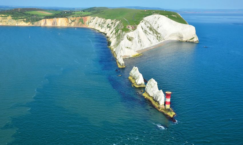
Ventnor is on the southern tip of the Isle of Wight. Its streets are engraved into a steep hill overlooking the cold English Channel. The colour of the sea could only be found on a paint colour chart – – an opaque pastel blend of grey and green.
I spent one hour and eight minutes in Ventnor. How can I be so precise? Because it tells me so on Page 40 of one of the most remarkable documents in the history of British cryptography – – the Isle of Wight Bus Guide.
Before that bleak spring day, I used to think that the longest distance between any two points was an ACTION bus route in Canberra. Not so. ACTION’s guide and bus routes are a quick crossword compared to The Times’s cryptic that is the Isle of Wight Bus Guide. The guide is an astonishing 96 pages (each 10cm by 20 cm) for an island a little larger than the city of Canberra (50km by 30km) and a population of just 130,000.
Continue reading “The Isle of Wight by bus”